


Map Size:Width: 36"Height: 63"
Map Features:PatchMap™ detailed oilfield roads, with fully named county roadsLabeled Gas Plants and Major FacilitiesCompressor StationsWellsitesLabeled Township and Section GridDetailed streams and waterbodiesParks and Protected AreasFirst Nations Reserves, Metis SettlementsRelief Shade backgroundPrivate/Crown Land
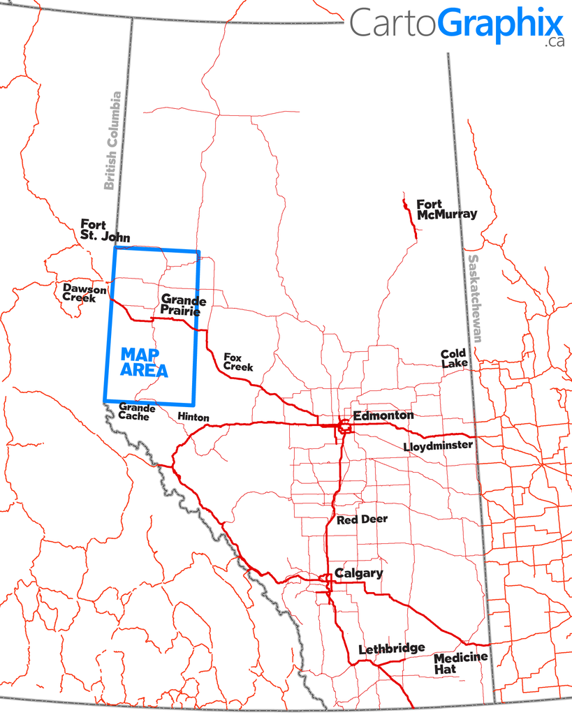
Map Extents:Left: BC/AB Border (Rge 13 W6)Right: Simonette River (Rge 24 W5)Bottom: Grande Cache (Twp 55)Top: Hines Creek (Twp 84)
Like any of our maps, this map can be customized. Contact us for more info..