


Map Size:39"W x 27"H
Map Features:PatchMap™ detailed oilfield roads, with fully named county roads, radio frequencies and kilometer postsLabeled Gas and Waste PlantsWellsitesCompressor StationsLabeled Township and Section GridDetailed streams and waterbodiesParks and Protected AreasFirst Nations Reserves, Metis SettlementsRelief Shade background
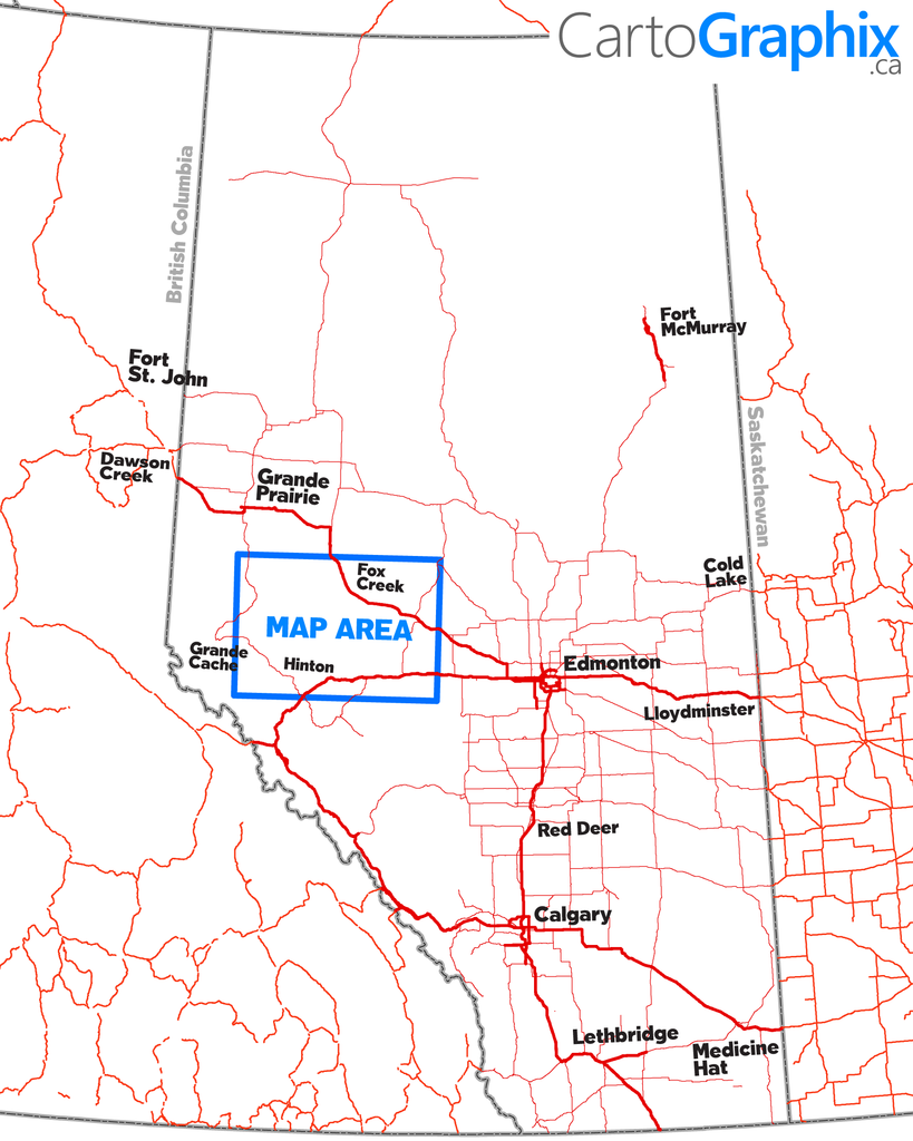
Map Extents:Left: Highway 40 (Rge 6 W6)Right: Whitecourt (Rge 10 W5)Bottom: Hinton (Twp 51)Top: Waskahigan River/Little Smoky (Twp 66)
Like any of our maps, this map can be customized. Contact us for more info..