


A highly detailed map of the area between Hinton, Edson, Drayton Valley and Rocky Mountain House. Small enough to use in your truck or if you have little wall space in your office.Printed on high-quality paper or tear-proof polypropylene, ships rolled.Map Size:39"W x 27"H
Map Features:PatchMap™ detailed oilfield roads, with fully named county roadsLabeled Gas and Waste PlantsCompressor StationsWellsitesLabeled Township and Section GridDetailed streams and waterbodiesParks and Protected AreasFirst Nations Reserves, Metis SettlementsRelief Shade background
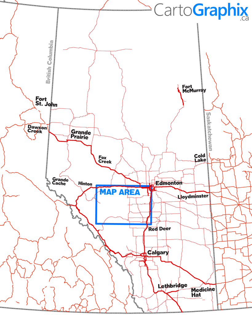
Map Extents:Left: Hinton (Rge 26 W5)Right: 35 km east of Drayton Valley (Rge 4 W5)Bottom: 15 km south of Rocky Mtn House (Twp 38)Top: Highway 16 (Twp 53)
Like any of our maps, this map can be customized. Contact us for more info..