

A great map for the seat of the truck.
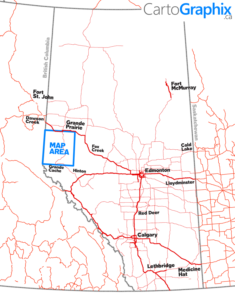
Features accurate PatchMap oilfield roads with kilometer posts and radio channels, labeled gas and waste plants, township grid, rivers and waterbodies, parks and protected areas, First Nations reserves/ Metis settlements, relief-shade background with Green/White area shade.
Printed on heavy-weight paper
Manufacturer: CartoGraphix with road data by PatchMap™
Like any of our maps, this map can be customized. Contact us for more info.