


Map Size:52"W x 36"H
Map Features:PatchMap™ detailed oilfield roads, with fully named county roadsLabeled Gas and Waste PlantsCompressor StationsLabeled Township and Section GridDetailed streams and waterbodiesParks and Protected AreasFirst Nations Reserves, Metis SettlementsMunicipal BoundariesRelief Shade background
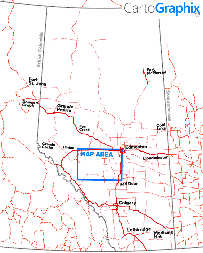
Map Extents:Left: Hinton (Rge 26 W5)Right: 35 km east of Drayton Valley (Rge 4 W5)Bottom: 15 km south of Rocky Mtn House (Twp 38)Top: Highway 16 (Twp 53)
| Printed on Super-High-quality, tear-proof polypropylene 'paper'. |
Like any of our maps, this map can be customized. Contact us for more info..